Valjevo Airfield
Appearance
Valjevo Airfield Aerodrom Divci Аеродром Ваљево Aerodrom Valjevo | |||||||||||
|---|---|---|---|---|---|---|---|---|---|---|---|
| Summary | |||||||||||
| Airport type | Public | ||||||||||
| Owner | Government of Serbia | ||||||||||
| Serves | Valjevo | ||||||||||
| Location | Divci, | ||||||||||
| Elevation AMSL | 469 ft / 143 m | ||||||||||
| Coordinates | 44°17′52.14″N 20°01′18.88″E / 44.2978167°N 20.0219111°E | ||||||||||
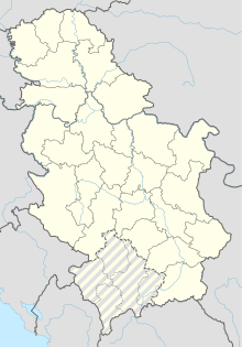
| Map | |||||||||||
 | |||||||||||
| Runways | |||||||||||
| |||||||||||
Valjevo Airfield (Serbian: Аеродром Ваљево / Aerodrom Valjevo), also known as Divci Airfield (Serbian: Аеродром Дивци / Aerodrom Divci), is a recreational aerodrome in Divci near the City of Valjevo, Serbia and mountain resort Divčibare. The field has a single grass runway that is 1,250 metres long and 50 metres wide.


Future reconstruction
[edit]The idea of the construction of a cargo-transportation centre in Valjevo, 25 years ago, is again in the focus of interest[when?]. The backbone of all plans are Bar's railway, i.e. Valjevo-Loznica railway, future highway to the seaside and airport in Divci.[citation needed]
See also
[edit]External links
[edit]- Valjevo airport information (PDF)
- (in Serbian) Srbija će imati 16 malih aerodroma
- (in Serbian) Krupne investicije

